
Thermal drone imaging captures heat patterns and temperature differences not visible to standard cameras. This visual data supports environmental surveys, infrastructure assessment, and site monitoring.
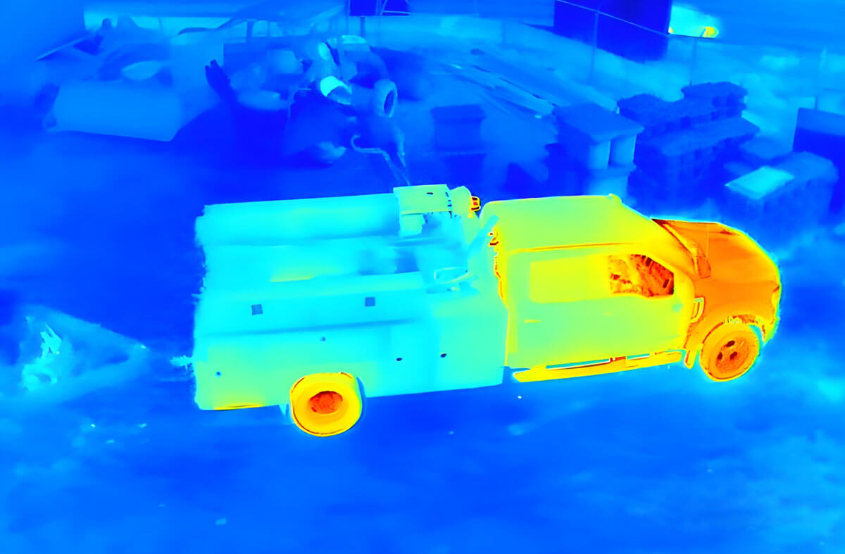
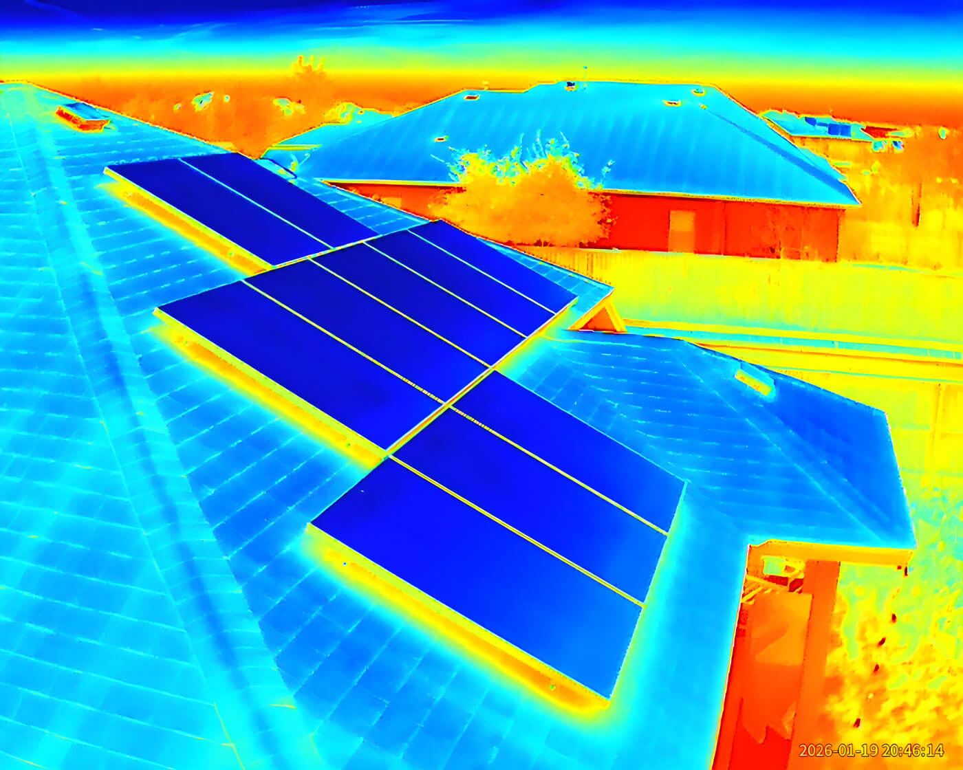
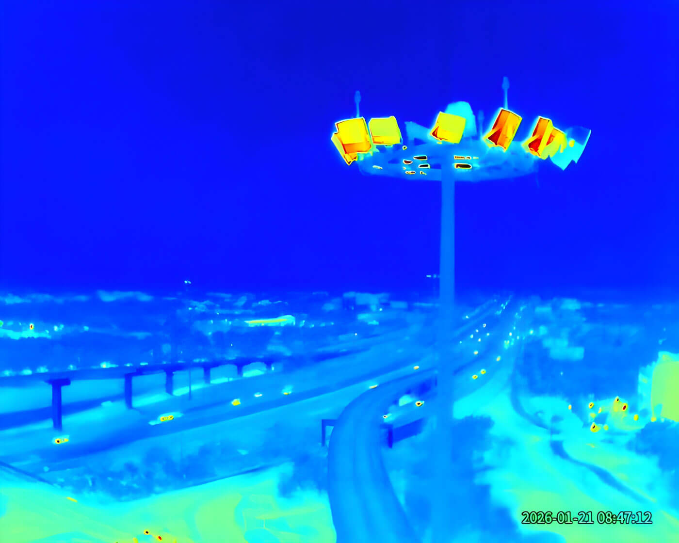
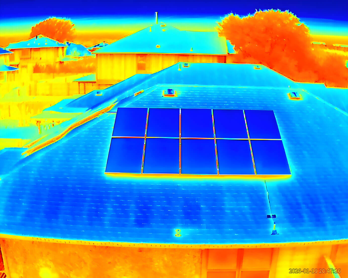
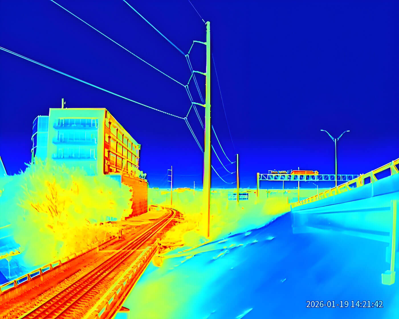
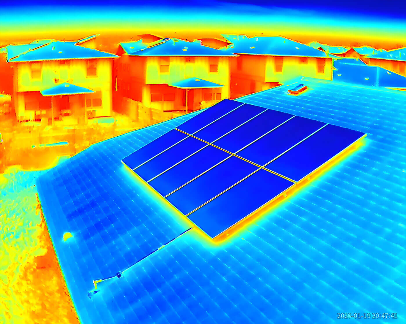
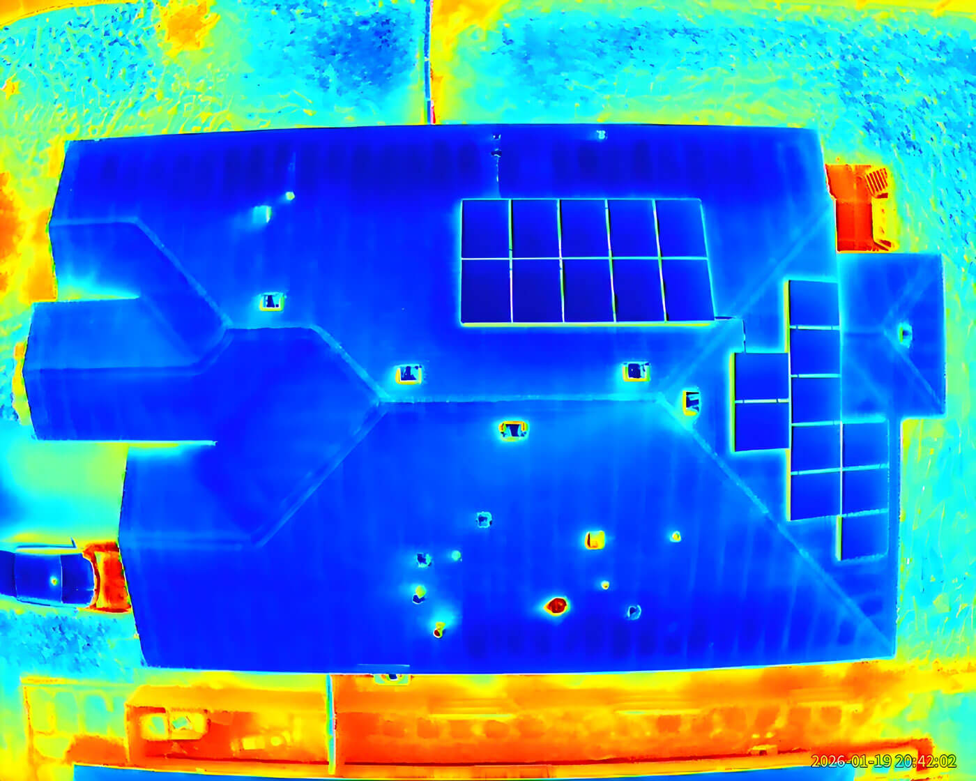
Thermal drone imaging provides a unique layer of visual insight by detecting heat signatures across structures, terrain, and natural environments. Using specialized thermal sensors, we capture imagery that highlights temperature variation, movement, and anomalies that standard cameras cannot see. We can render the image in multiple styles such as white hot, black hot, rainbow, etc. Each flight is planned with attention to altitude, angle, time of day, and environmental conditions to ensure meaningful and consistent results.
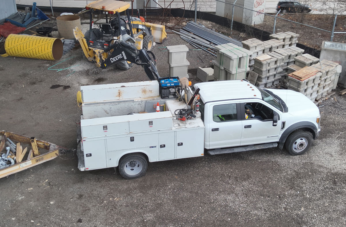
This service is commonly used for wildlife and environmental surveys (such as bat or species monitoring), infrastructure and bridge assessments, construction and site monitoring, and asset verification. Thermal imagery is captured strictly as visual documentation and delivered in formats suitable for review, reporting, and archival purposes. All operations are conducted with a strong focus on safety, compliance, and accuracy, making thermal drone imaging a valuable tool for projects where understanding unseen conditions is essential.

Let's Work Together
Whether you need aerial footage, ground photography, or full project coverage, we’re here to help. Let’s bring your vision to life.
(512) 956-8656
info@volare.video


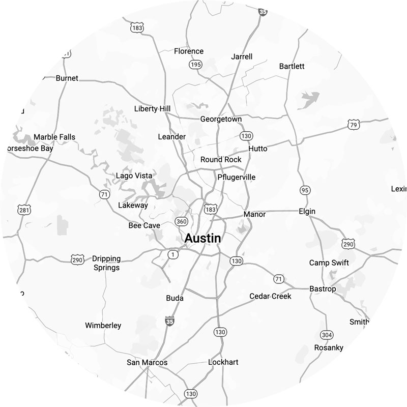
Service Area
For projects outside the immediate Austin area, we’re happy to travel as needed — travel fees may apply depending on location and scope. If your project is outside Central Texas, feel free to reach out and we’ll be glad to discuss availability and logistics.