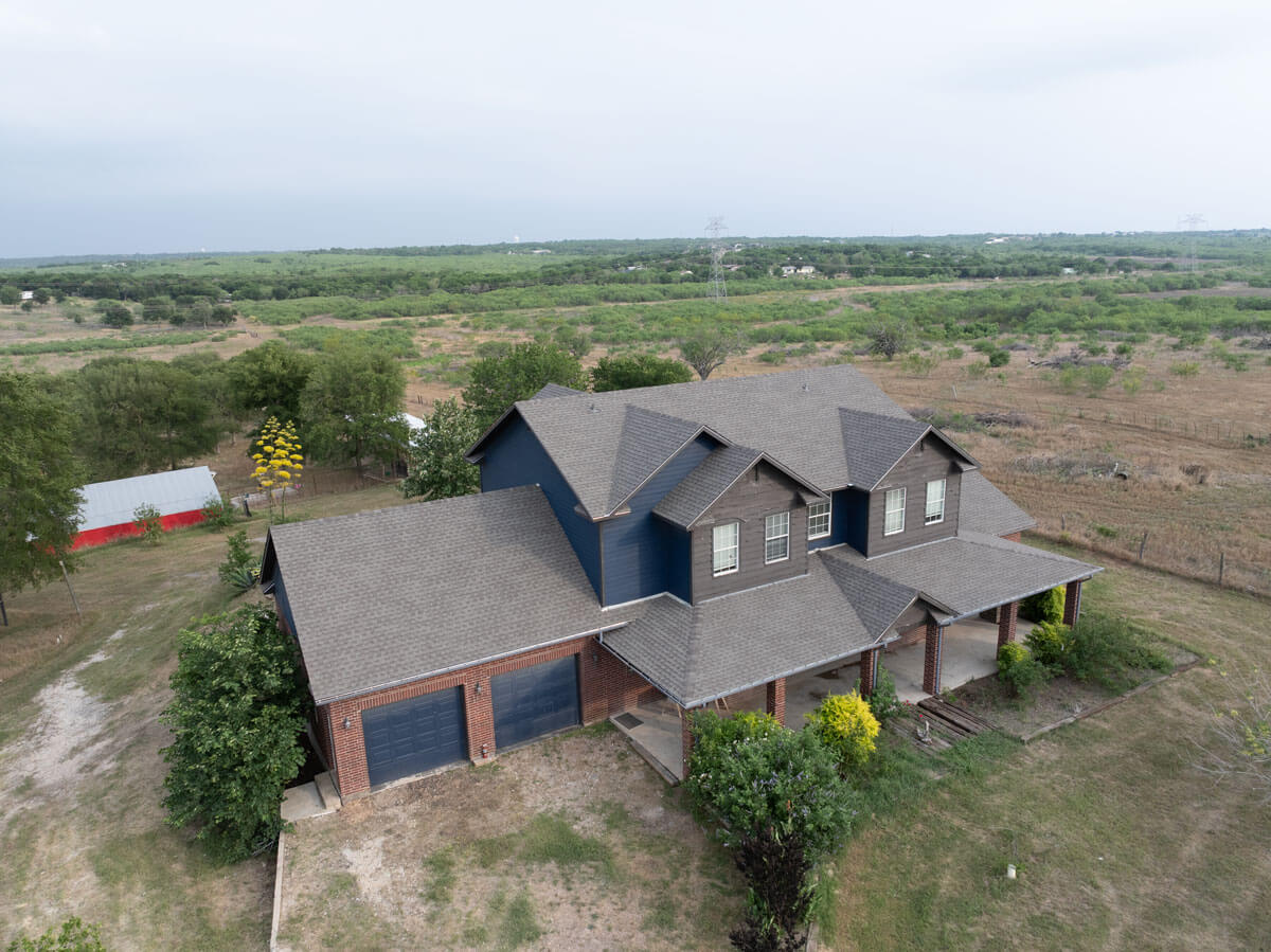
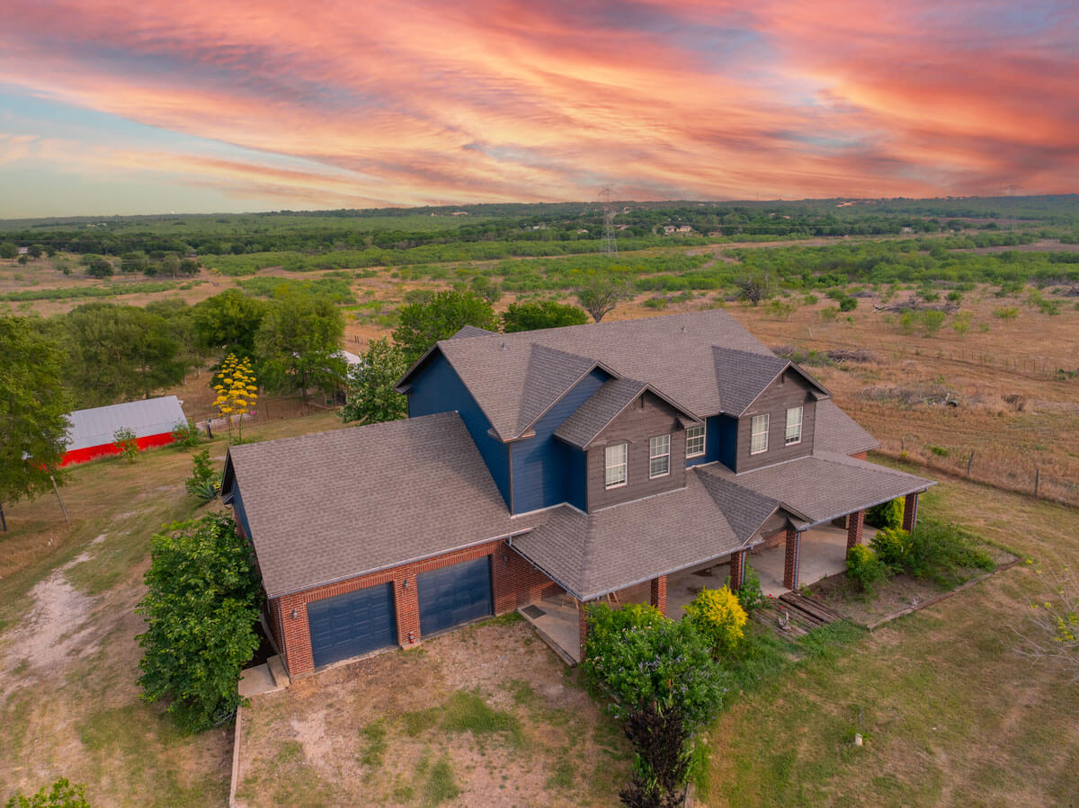
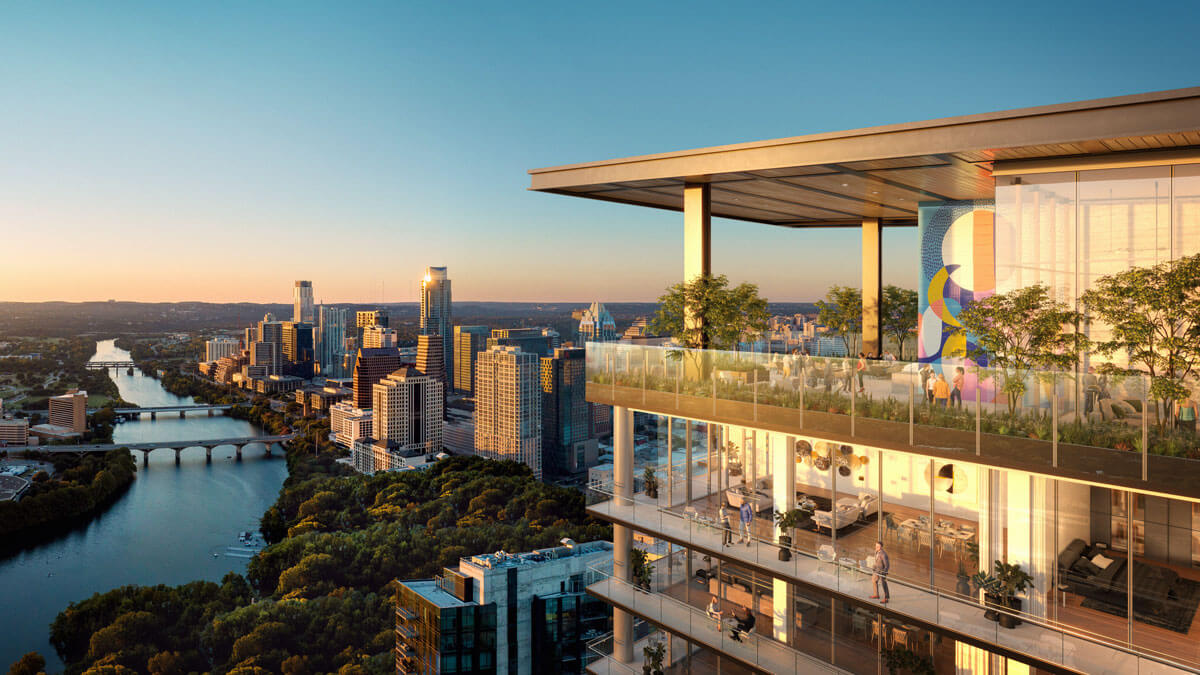
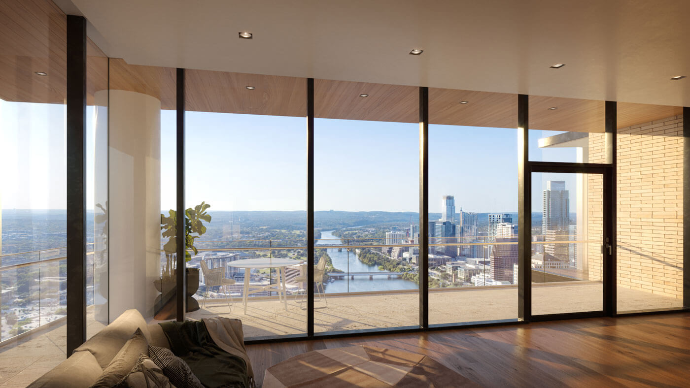
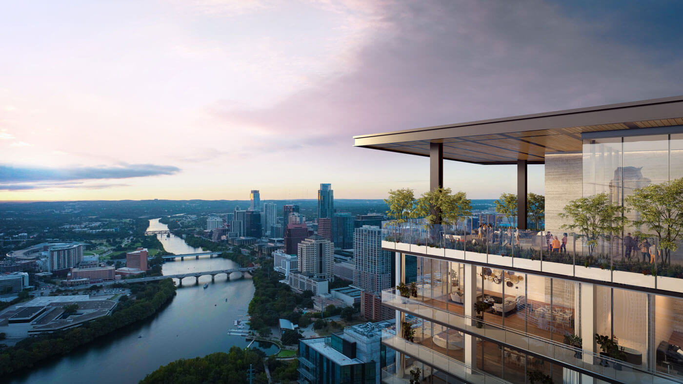
High-resolution aerial imagery captured specifically for use in 3D modeling and architectural visualizations. These images provide accurate context and perspective for realistic renderings and proposed developments.
Aerial imagery for 3D visualization is captured with precision and consistency to support architectural renderings, environmental context, and large-scale planning visuals. Flights are planned carefully to match specific elevations, angles, and viewpoints required by visualization teams, ensuring the imagery integrates seamlessly into 3D models and animations. Attention is given to lighting conditions, lens choice, and capture settings to produce clean, distortion-free source material.
This service is commonly used for proposed developments, infrastructure projects, master-planned communities, and urban visualizations. Imagery is delivered in formats suitable for post-production and modeling workflows, allowing visualization teams to work efficiently without additional cleanup or correction. The result is reliable, high-quality aerial source material that enhances realism and accuracy in final 3D outputs.
(Renderings shown were created by a client using our aerial drone photography)

Let's Work Together
Whether you need aerial footage, ground photography, or full project coverage, we’re here to help. Let’s bring your vision to life.
(512) 956-8656
info@volare.video


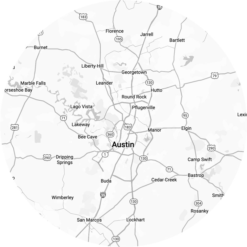
Service Area
For projects outside the immediate Austin area, we’re happy to travel as needed — travel fees may apply depending on location and scope. If your project is outside Central Texas, feel free to reach out and we’ll be glad to discuss availability and logistics.